
Blog
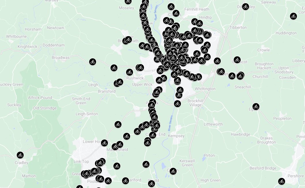
Close Pass Map
Worcester cyclists are taking safety into their own hands by mapping close calls and dangerous driving incidents. Through West Mercia's Operation Snap portal, they're reporting these incidents and providing valuable data to identify high-risk areas. This information will be used to advocate for road safety improvements and encourage safer driving behaviour around cyclists. Check out the Close Pass Map and learn how you can contribute to making Worcester's roads safer for everyone.


